KoyaQuest
Hiking
Hiking

Hiking
There are several options for people who want to make the journey to Kōyasan on foot. Some of the most popular routes, beginning with the most famous, are described below.
This is was the traditional "Omotesandō," or "Frontal approach," to Kōyasan. Its history and significance earned this route inclusion on UNESCO's list of World Heritage Sites for the region.
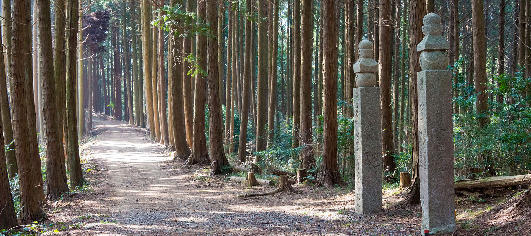
The name comes from the 180 stone monuments (chōishi) that guided pilgrims along the 21 kilometer footpath to the Danjō-garan. These were erected centuries ago to replace wooden markers originally set by Kūkai himself.
The trailhead is located at Jison-in Temple, a 25-minute walk from Kudoyama Station (on the Nankai Koya Line). The temple is of interest in its own right as the place where Kūkai's mother lived. (As a woman she was barred from violating the sanctity of the holy mountain.)
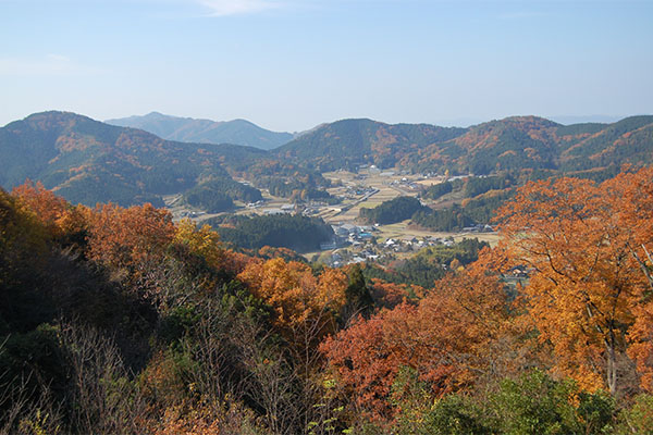
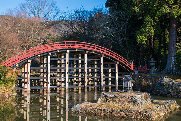
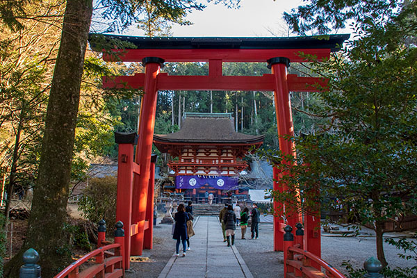
A shorter alternative to the entire Chōishi-michi is to take the route from Jisonin Temple to the Roppon-sugi Pass (about half-way up the mountain at an elevation of 570 meters). From there, a 20-minute walk through the hamlet of Amano will bring you to Niutsuhime Shrine, another place of interest on UNESCO's World Heritage list.
After leaving Amano and Niutsuhime Shrine, you can rejoin the Chōishi-michi at Futatsu Torii (a 35-minute walk). A 10-minute descent (back towards original trailhead) will take you to Furu Pass where you can take an alternate trail to Kamikozawa Station (another 60 mins), which is three stops from the cable car to Kōyasan.
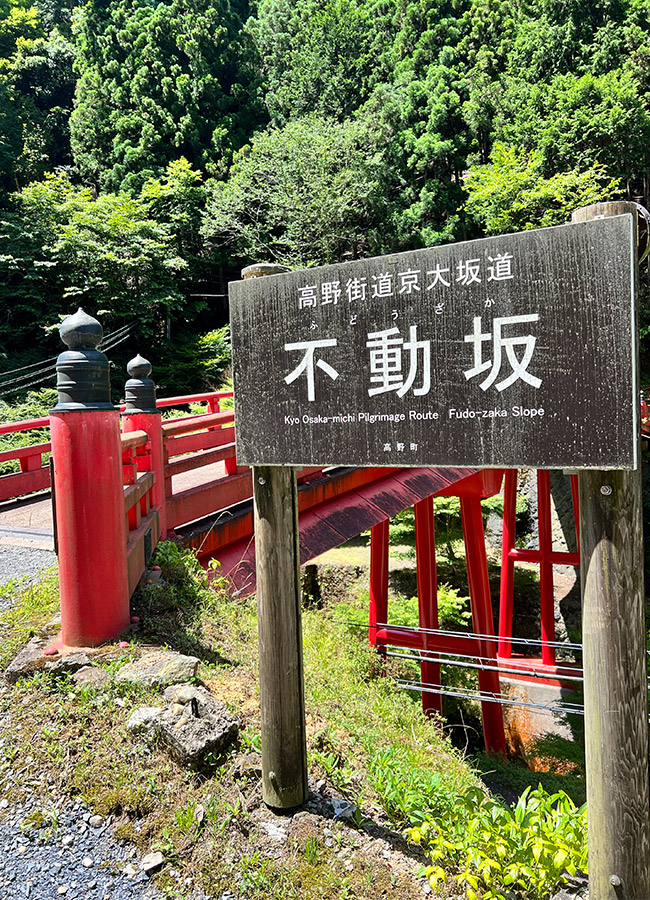
For those who want to arrive at Kōyasan as those pious pilgrims from the past but do not have several hours to spend on the trail, an option is to take the Nankai Train to Gokurakubashi Station and -- instead of transferring to the funicular -- hike the final 380 meters of elevation to the top along the "Fudōzaka."
With a connection to an alternative "Iroha Slope," the "Fudōzaka" can be accessed just to the east of the Gokurakubashi station.
While short, this steep one-hour climb is described as the hardest trail of the various ascents leading to Kōyasan. A few hundred meters after the Kiyofudō Temple, the path joins the private access road to Kōyasan Station. Turn left and it is a two-minute walk to the Nyonindō. From there it is 15-minute walk to the center of the town.
© 2025, k. collins